LiDAR vs vSLAM robot vacuum navigation: what each sensor misses
iRobot spent years teaching a camera to find its way around your home. Then it put a laser on every new Roomba. What does each one miss?
On this page4 sections
iRobot’s j-series Roombas found their way around a house by camera. The Roomba j7+, launched in September 2021, steered with what iRobot calls its “iAdapt® localization camera.” Then on March 11, 2025, iRobot announced a new range of Roombas, and every one of them maps the home with a laser it calls ClearView LiDAR Navigation.
The camera stayed on some of the new models, with a narrower job. An independent buyer’s guide to the 2025 range lists the Roomba 105 and the Plus 405 Combo as laser robots with no designated obstacle avoidance. The Plus 505 Combo and the Max 705 Combo add a camera system, PrecisionVision, to recognize objects on the floor.
So the laser draws the map, and the camera, where there is one, identifies what is lying in the robot’s path. Roborock builds the S8 MaxV Ultra the same way, pairing PreciSense LiDAR navigation with “3D structured light and an RGB camera.” Which sensor your robot steers by decides where it can lose track of your home: a dark hallway, a mirrored wardrobe, the sock by the bed.
Term
3D structured lightA sensor that projects a known pattern of light, such as lines or dots, onto the floor ahead while a camera watches how the pattern bends over whatever it strikes. From that bending, the robot works out the shape and height of objects in its path.What a camera needs
Visual SLAM, the camera method, picks out distinctive points in each image, such as the corner of a picture frame or the edge of a doorway, and tracks how they shift from one frame to the next. From that shift the robot works out how far it has moved, and the points it collects become its map.
Everything depends on the camera getting a usable picture. When a j-series Roomba or a Roomba Combo 10 Max cancels a job with Error 17, iRobot asks owners to make sure the house has “adequate light (daylight or dim lighting should be sufficient).” It warns that “extremely dark rooms could obscure the iAdapt® localization camera and cause problems with navigation and coverage.”
Doesn’t the robot carry its own light? It does, and the headlight on the front-facing camera “is designed to help your robot avoid obstacles and dock, but the headlight does not produce enough light for the robot to navigate correctly in the dark.” When the j7 launched, the LED’s job was described as “improving cord detection.”
What the camera buys is recognition. iRobot taught the j7 from labeled photos taken in real homes, and of 170 kinds of object on the company’s list, four were ready at launch: shoes, socks, cords and pet waste.
Pet waste took hundreds of models made from Play-Doh and paint, said Colin Angle, then iRobot’s chief executive. Some things stay hard for any camera: white headphones on a white carpet, or a black power cord crossing a rug patterned with black squiggles.
A camera that can tell a sock from a cable is also taking pictures inside your home. At launch, a reporter wrote, the j7’s object detection was “done entirely on-robot,” and a separate on-robot human detector looked for images containing people so that they would “get immediately deleted without going anywhere.”
What a laser misses
A LiDAR sensor fires a laser, times how long the light takes to come back, and turns thousands of those readings into distances to walls and furniture. It measures the shape of the room directly, so bare walls give it no trouble.
But each reading ends where the beam first hits something, much like a flashlight’s. Whatever sits behind a sofa stays unmeasured until the robot moves somewhere it can see it.
Figure
What one sweep of the laser sees
- The scannerIt measures the first surface in every direction, at turret height, and nothing past it.
- Seen this sweepSurfaces a pulse reached and returned from. The blue plane is everything the rays crossed on the way.
- Not seenHidden behind something nearer, and unknown until the robot moves. This is why a mapped room still produces collisions.
Glass and mirrors are the laser’s trouble, because they don’t send the beam straight back. According to iRobot’s guide to its ClearView LiDAR maps, mirrors, windows and shiny furniture “can reflect or scatter these beams in unexpected ways, resulting in less accurate navigation, missing areas, false barriers, or confusing layouts.”
The laser also puts rooms on your map that the robot can see but can’t reach, such as the bottom of a staircase or a space beyond a glass doorway. The S8 MaxV Ultra leans on the structured light and camera beside its laser to steer around “even floor mirrors.”
The other limit is height. A laser on a turret measures one horizontal slice of the room, at the turret’s height. A chair leg crosses that slice and shows up on the map. A charging cable or a sock on the floor sits below it and never enters the laser’s data. So makers add a second sensor that looks down at the floor ahead.
Dreame’s X50 Ultra Complete pairs 3D structured light with an AI camera that identifies up to 200 types of object, pet waste among them. It carries its own lamps, too: LED lights switch on in dim rooms, at night or on rainy days, to help the robot spot obstacles early.
The turret and the sofa
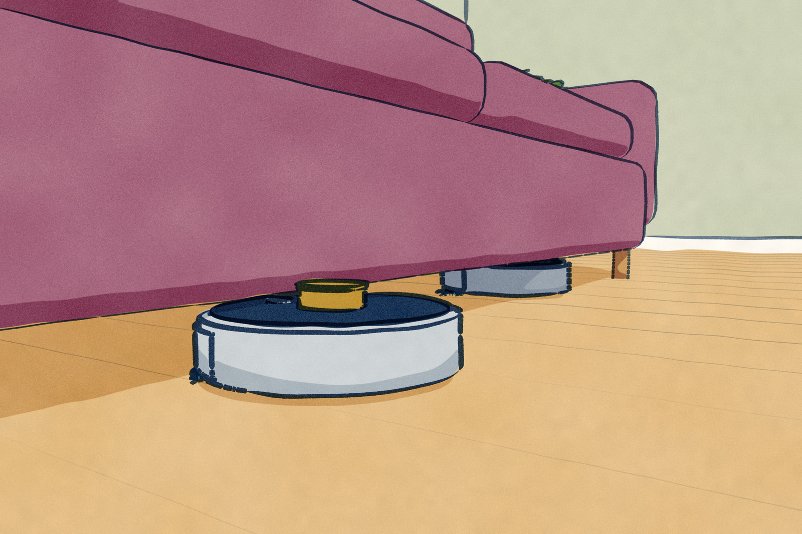
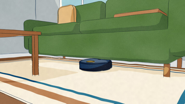
A turret also makes the robot taller. If your bed or sofa sits lower than the robot, it cleans around that furniture and leaves the floor beneath alone. The S8 MaxV Ultra stands 4.06 inches tall. Dreame and Ecovacs have each built a way around the turret.
The X50 Ultra Complete can lower its laser into the body, and Dreame says its height then drops to 89 mm (about 3.5 inches), “facilitating its navigation under low furniture where other robot vacuums struggle.” Dreame doesn’t say what triggers the drop, or how the robot maps while the laser is down.
Ecovacs took the turret off the Deebot X2 Omni altogether and built “a LiDAR sensor fully embedded inside the body.” The robot stands 3.74 inches tall, about a third of an inch lower than the S8 MaxV Ultra.
What it gives up is sweep. The embedded dual-laser unit covers a 210-degree angle of view, against the full circle of a raised turret like Dreame’s “360° scanning sensor.” For obstacles, the X2 Omni uses a camera that also records depth, which Ecovacs calls AIVI 3D 2.0.
Reading the spec sheet against the floor plan
Navigation hardware is printed on the spec sheet, so you can check it against your home before anything is bought. For a robot that steers by camera, the questions are about light: rooms that stay dark while it runs, schedules set for the middle of the night, long hallways with little on the walls for the camera to fix on.
For a laser robot the questions are physical. You can measure the gap under beds and sofas against the listed height, and count the mirrors, glass doors and glossy furniture room by room. Cables and socks on the floor are a question for the obstacle sensor, and the spec sheet says whether the robot has one.
So each sensor loses the home in its own places. A camera loses its bearings in a dark room or a bare hallway, and can still miss white headphones on a white carpet. A laser loses them at glass and mirrors, below its own slice of the room, and at furniture its turret can’t clear.
Yet light comes back into it, even with a laser on board. The ClearView LiDAR guide from iRobot, which covers every model from the Roomba Mini to the Max 700 series, tells owners to “open window shades or turn on the lights while running the robot,” and then states: “Lighting is necessary for the robot to navigate.”
The guide doesn’t say which sensor needs the light, and it covers both kinds of robot: the Roomba 105, with no designated obstacle avoidance, and the Max 705 models, with a camera beside the laser. So a new laser Roomba set to run in the middle of the night gets the same advice the camera-guided j7 did: leave a light on.