Technology-shift
What does sensor fusion change in wire-free mowing?
Wire-free robot mowers now split between single-signal LiDAR navigation and multi-signal fusion stacks pairing RTK with camera vision, a difference that changes how each system behaves when one input is lost.
We may earn commission from qualifying purchases. This does not influence the comparison.
The technological divide
Two architectures, two failure modes
The category has split into two architectural approaches. Each works well in some conditions and breaks down in others.
LiDAR-only SLAM mapping
The robot measures the distance to nearby objects by timing reflected laser pulses, building a live map of its surroundings.
A rotating LiDAR puck builds a spatial map of the lawn and localizes the mower within it. Obstacle avoidance and boundary inference depend entirely on this one sensor chain; there is no independent positioning fallback.
- Accurate mapping in open, unshaded lawns
- Dynamic obstacle detection without buried wire
- No fallback if LiDAR signal degrades
- Dense overhead cover may reduce scan reliability
RTK-GNSS with visual co-localization
A camera and a laser scanner work together, so navigation holds up when either sensor is fooled on its own.
RTK-GNSS delivers centimeter-level absolute positioning; an onboard camera system provides secondary localization and obstacle identification. Each signal can compensate when the other degrades, forming a two-layer resilience stack.
- Centimeter-level accuracy under open sky
- Camera fallback when RTK signal drops
- RTK base-station setup adds initial overhead
- Camera performance degrades in very low light
Where each robot sits
Does the architecture pay off?
Horizontal: where each robot sits between the two architectures. Vertical: its documented result on the headline test.
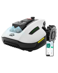
 Lymow One PlusvSLAM secondary
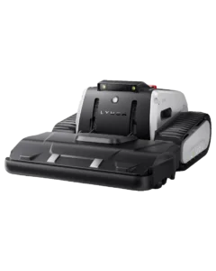
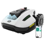 Mammotion YUKA 3000Undocumented
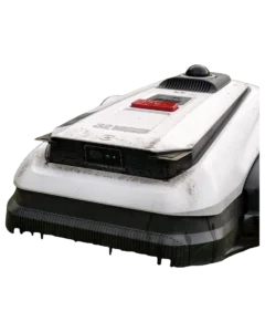
 Ecovacs Goat A3000 LiDAR PRONo fallback
Vertical axis — documented result on: Positioning when primary signal degrades
What each architecture can and can’t do
Capability tests
Each capability is documented from owner reports, manufacturer specifications, or third-party reviews. No in-person testing.
Ecovacs Goat A3000 LiDAR PROLymow One PlusMammotion YUKA 3000What the architecture difference means
Different homes, different sensor stacks
Where each architecture fits, by condition.
Open yards, minimal tree canopy
LiDAR-only navigation performs reliably where scan lines are unobstructed. Manufacturer reports for the Goat A3000 LiDAR PRO describe stable operation in open residential lots; yards with more than 30% canopy cover above the mowing plane remain an unconfirmed condition.
Yards with tall structures or signal obstructions
RTK accuracy degrades near multi-story buildings or dense hedgerows that shadow satellite geometry. Fusion stacks on the Lymow One Plus and YUKA 3000 use camera vSLAM as a secondary localization source during those gaps; LiDAR-only architectures have no equivalent secondary channel.
Owners weighing setup cost against long-term autonomy
RTK base-station installation adds $500 to $1,000 in initial cost and requires antenna placement planning. LiDAR-only setup involves only a charging-station dock and an in-app boundary walk. The trade-off is front-loaded cost on the fusion side versus a single point of failure on the LiDAR-only side.
Common questions