Skip to content
Saved

Technology shift/Robot Lawn Mowers/2 robots compared/Reviewed Jul 2026

RTK Satellite or LiDAR: Two Navimow Navigation Approaches

RTK satellite positioning against LiDAR-based wire-free navigationTwo architectures for the same job. Each is documented to work in conditions the other is documented to struggle in.
Segway Navimow X330View recordSegwayIVX330Navigation approachRTK satellite positioning$2,799
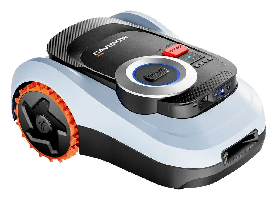
Segway Navimow i215 LiDARView recordSegwayIIIi215 LiDARNavigation approachLiDAR-based wire-free navigation
Full specifications18 measurements · 32 of 36 documented
MSRP
$2,799
$1,599
Rated runtime
160 min
Not documented
Charge time
100 min
Not documented
Battery type
Li-ion
Li-ion
Noise level
Not documented
59 dB
Navigation
RTK satellite positioning fused with Visual SLAM (EFLS 3.0); virtual geofence boundaries; VisionFence 2.0 300° camera obstacle recognition
LiDAR scanning approximately 200,000 points per second; wire-free autonomous mapping; night-capable operation; no perimeter wire or separate antenna required
Connectivity
wifi
wifi, bluetooth
Dimensions (W×D×H)
22.05 × 21.26 × 9.06 in
17.5 × 25 × 11.3 in
Weight
42.33 lbs
Not documented
Readiness
Ready Now
Ready Now
Released
Apr 2025
Feb 2026
Cutting width
9.3 in
7.1 in
Cutting height range
2-4 in
0.8-2.8 in
Blade system
6 blades, auto height adjustment
6-blade disc
Max area
43,600 sq ft
16,100 sq ft
Max slope
50%
45%
Drive layout
Rear-wheel drive
Rear-wheel drive
Boundary method
Wire-free, RTK fused with visual SLAM (EFLS 3.0)
Wire-free, LiDAR autonomous mapping

The technological divide

Two architectures, two failure modes

The category has split into two architectural approaches. Each works well in some conditions and breaks down in others.

Approach A · RTK satellite positioning

RTK satellite positioning

FIXED BASE STATIONCENTIMETER CLASS

A ground base station corrects the robot’s satellite position to within a few centimeters — but on a single frequency, so a blocked signal can drop the lock.

RTK satellite positioning corrects GPS readings against a fixed base station near the yard, producing centimeter-level position estimates. Boundaries are set as a virtual geofence in-app; accuracy depends on open sky view and satellite lock.

  • Centimeter-level accuracy under open sky
  • Wire-free geofence, no buried perimeter
  • Recalibrates after dense canopy or cloud
  • Night operation not documented in specs
vs
Approach B · LiDAR spatial mapping

LiDAR-based wire-free navigation

LASER RANGINGMEASURES STRUCTURE

The robot measures the distance to nearby objects by timing reflected laser pulses, building a live map of its surroundings.

LiDAR sensors continuously scan the yard to build a spatial map, replacing both perimeter wire and satellite dependency. Positioning holds regardless of daylight or cloud cover, though the architecture is newer to consumer mowers with less accumulated field history.

  • Night-capable operation independent of daylight
  • No satellite signal or GPS dependency
  • Coverage ceiling near 0.37 acre
  • Canopy tolerance undocumented; slope rated to 45% grade

Where each robot sits

Does the architecture pay off?

Horizontal: where each robot sits between the two architectures. Vertical: its documented result on the headline test.
Handles itPartialStruggles
Segway Navimow X330Up to 1 acre
Segway Navimow i215 LiDAR0.37 acre
ARTK satellite positioningLiDAR-based wire-free navigationB

Vertical axis: documented result on Single-session coverage ceiling

What each architecture can and can’t do

Capability tests

Each capability is documented from owner reports, manufacturer specifications, or third-party reviews. No in-person testing.

CapabilitySegway Navimow X330Segway Navimow i215 LiDAR
Single-session coverage ceilingManufacturer-rated areaUp to 1 acre0.37 acre
Operates without buried perimeter wireBoundary methodWire-freeWire-free
Night operationNo ambient lightUndocumentedDocumented
Performance under dense tree canopySignal or scan reliabilityRecalibratesUndocumented
Steep slope toleranceDocumented terrain limit50%45%
Multi-season field historyTime since launchMultiple seasonsSix months

What the architecture difference means

Different homes, different sensor stacks

Where each architecture fits, by condition.

Yards under 1 acre with open sky

RTK positioning ties accuracy to satellite geometry: manufacturer specs rate the X330 for up to 1 acre, and owner reports describe reliable geofence integrity on open terrain, with recalibration needed after extended cloud cover or dense tree canopy.

Small wire-free lots needing night runs

The i215 LiDAR's 0.37-acre coverage ceiling and documented night-capable operation fit compact yards where owners want mowing scheduled after dark; larger or multi-zone properties exceed its mapped coverage limit entirely.

Properties without multi-season field history

The i215 LiDAR reached market roughly six months before this classification, so manufacturer specs cover night operation, mapping, and a 45% slope rating, but canopy performance remains undocumented; the X330's RTK approach has multiple tracked seasons of owner-reported behavior.

Common questions

What readers ask about this comparison.

Q.
Does the Navimow i215 LiDAR replace the X330's RTK system?
No. Segway sells both architectures concurrently. The i215 LiDAR uses laser-based spatial mapping and covers up to 0.37 acre; the X330 uses RTK satellite positioning and covers up to 1 acre, per manufacturer specifications.
Q.
Which system needs a clear view of the sky?
The X330’s RTK positioning requires satellite signal; owner reports describe recalibration after dense cloud cover or tree canopy. The i215 LiDAR’s laser scanning does not depend on satellite reception, per manufacturer documentation.
Q.
Can the LiDAR model mow at night?
Manufacturer documentation confirms night-capable autonomous operation for the i215 LiDAR. The X330’s specifications do not document night operation.
Q.
Which model has more field history?
The X330 has tracked entries spanning roughly five months in the Robovations record. The i215 LiDAR launched in February 2026, about six months before this classification, per manufacturer materials and press coverage.
Q.
Do both models require a perimeter wire?
Neither. Both use wire-free virtual boundaries: RTK geofencing on the X330, LiDAR-based mapping on the i215 LiDAR.
Next up

RTK-plus-camera or LiDAR: two Segway Navimow architectures

Read the comparison
Comparison ID: RV–CMP–8168 · Last reviewed Jul 31, 2026 · Based on owner reports, manufacturer documentation, and firmware release notes