
Approaches compared
RTK-plus-camera or LiDAR: two Segway Navimow architectures
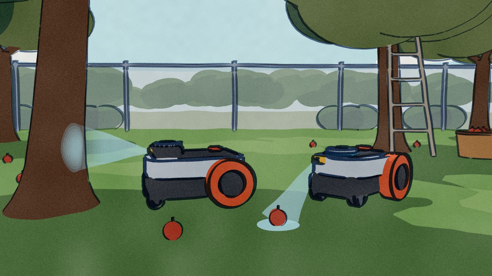
Both Navimows find their place on the lawn without an antenna, but by different means: one with satellite positioning fused with a camera, the other with LiDAR fused with a camera.
This page checks
- What it navigates bySatellite correction or LiDAR, and what each adds a camera for
- Under treesWhat the maker and hands-on reviews say
- In the darkMowing at night, and mapping at night
- Lawn sizeThe area each is rated for
Segway
Where to buy
Segway
Where to buy
Full specifications18 figures on record · 8 differ
Some links earn Robovations a commission. Nothing on this page is ranked by it.
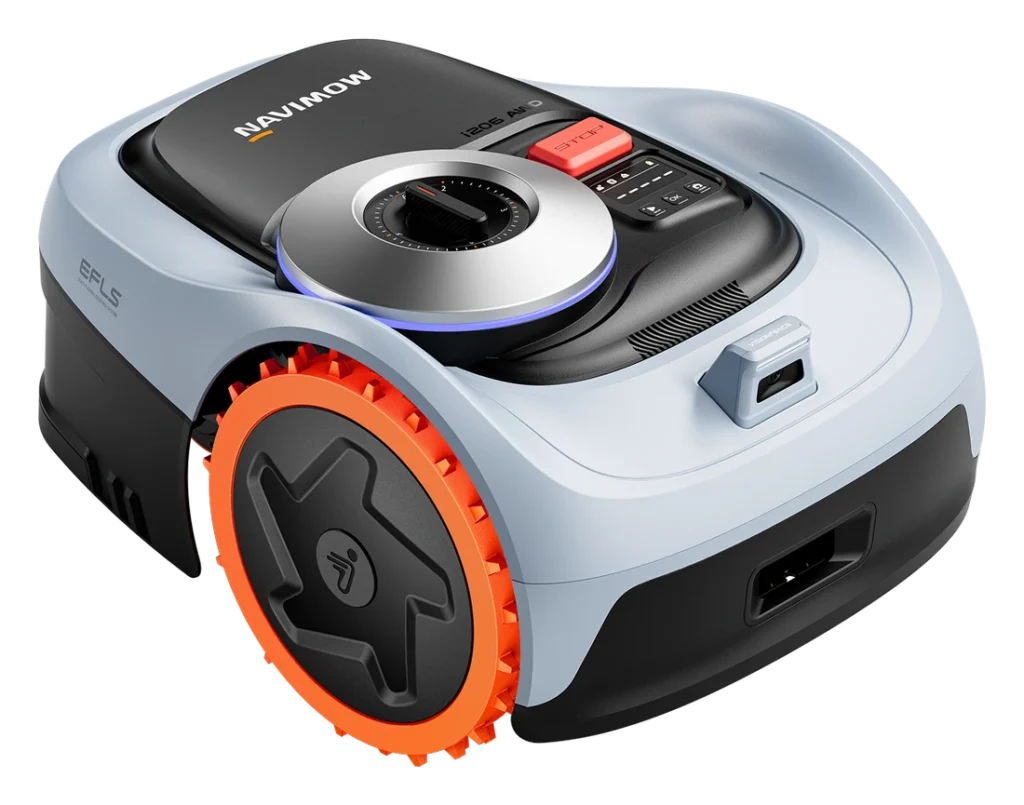
 Navimow i2 AWD
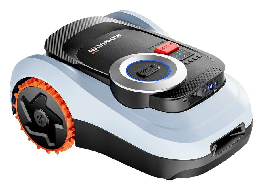
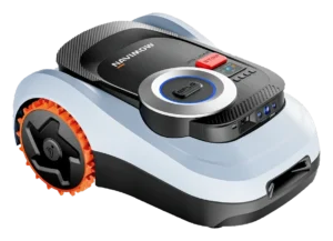 Navimow i215 LiDAR
Two ways to find the lawn
What each Navimow architecture asks of the yard
The i2 AWD uses tri-frequency Network RTK with a camera, and Segway says the service and cell data are free. The i215 LiDAR uses LiDAR with a camera, and Segway says it works under trees and at night. No night statement was found for the i2 AWD.
Tri-frequency Network RTK fused with camera vision, over the cell network. Access and the cellular data are included.
Maker US product pageSolid-state LiDAR fused with a camera, a dual system.
Maker US product pageOne hands-on review found the camera took over under dense, mature trees and navigated with precision.
Hands-on review, 2026Maker says it navigates well even under trees. A hands-on review saw it handle trees and slopes.
Maker US product pageNot found
Searched the maker's product text, a retailer spec page and a hands-on review. None addresses night mowing for this model.
Searched maker page and reviewMaker says it mows at night. Its help article says auto mapping is for daytime; map by hand in low light.
Maker product page and help articleMaker lists auto mapping with antenna-free setup. A hands-on review found multi-zone mapping intuitive.
Maker US product pageAuto mapping uses LiDAR and cameras. A hands-on review put setup at 20 minutes or more, with firmware updates.
Maker help article150+obstacle types
VisionFence camera detection, per the retailer page quoting the maker.
Retailer page quoting maker200+obstacle types
Maker also states 0.4 inch precision.
Maker US product page0.15 / 0.25acre
The i206 AWD is 0.15 acre and the i210 AWD is 0.25 acre. Both are sold under this name.
Maker US store variants0.37acre
Single variant in the maker's US store.
Maker US store variantSame on both: no antenna to install, slopes up to 45% (24 degrees), and 59 dB(A) mowing noise.
Your home
How each one fits a home like yours
Set the conditions that describe your home. Each robot answers from its own Fit Check; nothing is scored until you choose.
Fit check
Describe your home
Pick what applies. Each robot answers from its own record.
Everything else
Where they land among 128 robot lawn mowers
Only the measures on which these two differ. The bar is the whole category; the block is the typical middle half; the tick is the median.
Sources
Where every figure comes from
- Navimow i2 AWD · Segway Navimow US store product data (navimow.com); retailer spec page quoting maker figures; one hands-on review, 2026
- Navimow i215 LiDAR · Segway Navimow US store product data (navimow.com); Navimow help article on auto mapping; PCWorld hands-on review, 15 Jul 2026
Product text was read from the maker's US store on 2 Oct 2026, with its help article and hands-on reviews as a second source. Manual PDFs could not be read in this check, so manual figures are not used.
Questions
What readers ask
Does either mower need an antenna?
Segway’s US store describes both as antenna-free. The i2 AWD gets Network RTK over the cell network, with access and data included. The i215 LiDAR uses LiDAR with a camera.
Can the i215 LiDAR build its map at night?
Not automatically. Segway’s help article says auto mapping is for daytime, and to map by hand in low light. The product page says it mows at night.
Which one is rated for the larger lawn?
By Segway’s ratings the i215 LiDAR covers 0.37 acre. The i2 AWD is sold as the i206 at 0.15 acre and the i210 at 0.25 acre.
Common questions